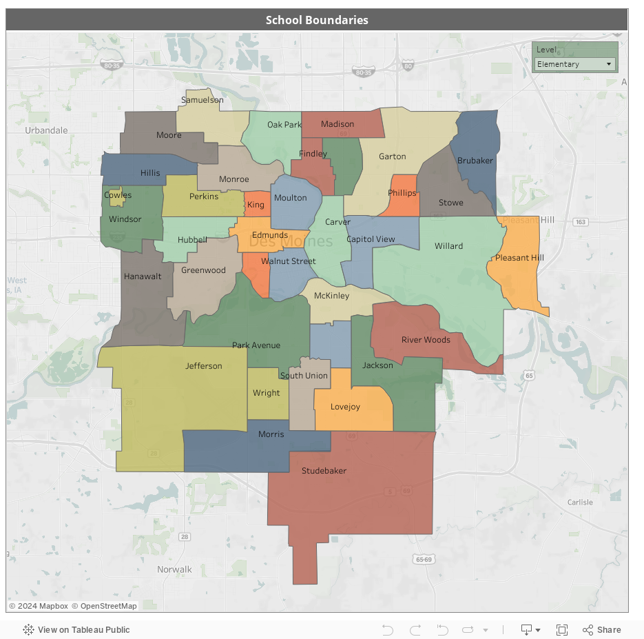

Attendance Area Map
The interactive map below provides a look at the attendance areas for Des Moines Public Schools, showing the boundaries for all elementary, middle and high schools in Iowa’s capitol city.
Please note the following directions and comments about using the map:
- Controls to zoom in to see additional details on the map are found in the upper left-hand corner of the map; hover your mouse over the map for the + and – to appear.
- To move or “drag” the map, hold the Shift key while clicking and moving your mouse.
- Boundary lines are drawn for REFERENCE PURPOSES ONLY.